
TP-22Estimates, planning & roads
Topographic survey
We provide an accurate topographic plan of the site for the design: terrain, boundaries, existing buildings, roads and underground utilities. The fieldwork is carried out by our licensed partners and we tie the results into the design — the client gets everything from one place.
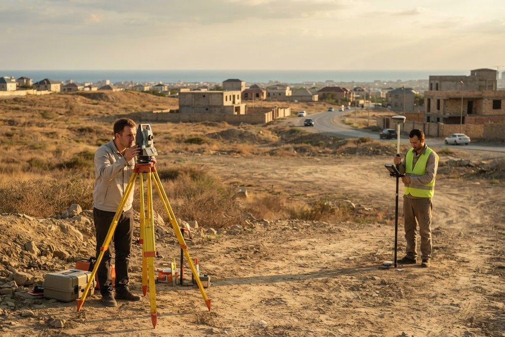
Topography before design
A master plan, road design, sewerage or landscaping cannot be designed correctly without an accurate topographic plan. Our licensed partners carry out the survey and we feed the result straight into the master plan and working design.
When it is needed
- Before designing a house or building
- For capital repair of roads and pavements
- For sewerage, water and gas lines
- For landscaping and park projects
How we work
1. Agreeing the brief 2. Field survey by a licensed partner 3. Preparation of the topographic plan 4. Integration into the master plan and design
Outputs
- Terrain and levels
- Plot boundaries and coordinates
- Existing buildings and roads
- Underground and overhead utilities
- Plan in DWG and PDF
Frequently asked questions
Do you do the survey yourselves?
Field surveys are carried out by our licensed partners. We organise the work and tie the result into the design.
In what format is the plan delivered?
Usually DWG and PDF, in a coordinate system.
Do you do it for road projects?
Yes, a topographic survey is a key stage of road capital repair designs.
From the same group: Estimates, planning & roads
This service is developed in coordination with related disciplines.
-
 QS-06
Cost Estimation & Quantity Surveying
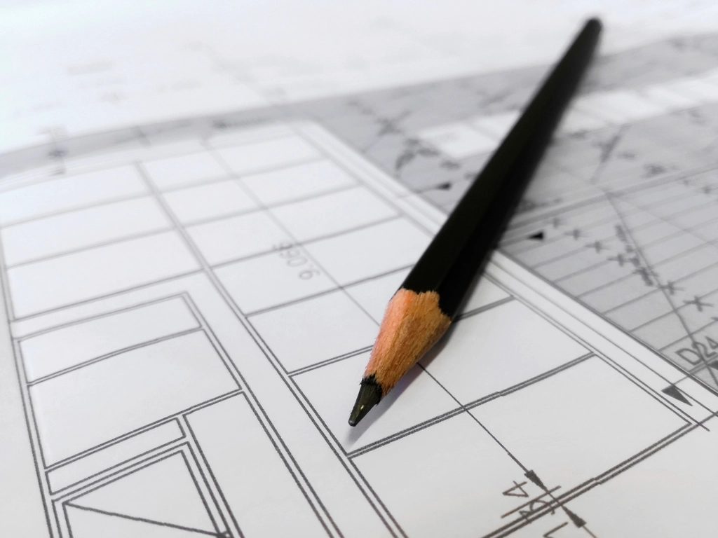
Individual cost, quantity, and material calculations for construction and renovation.
-
 CP-07
Construction Organization Planning
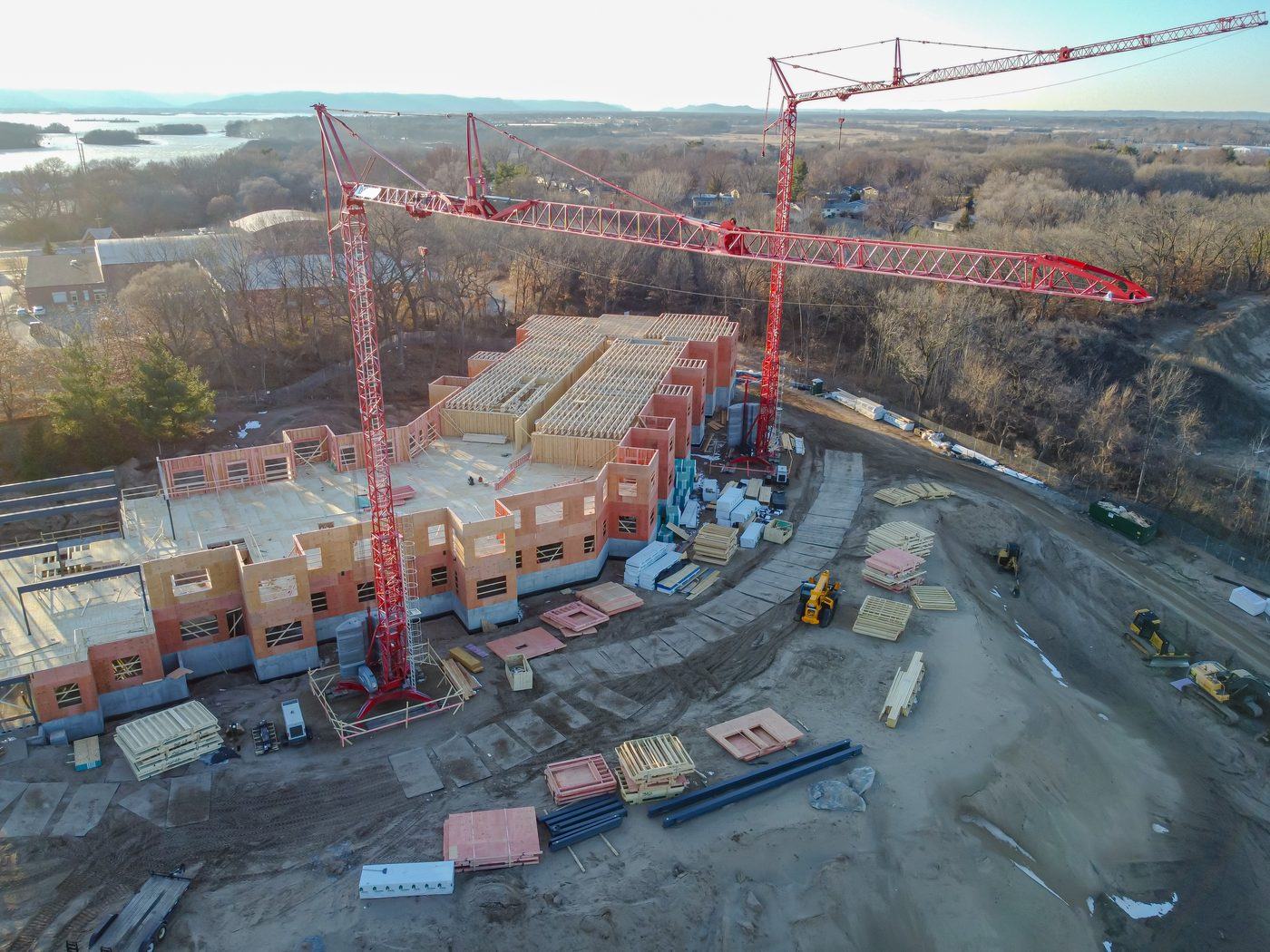
Site logistics, work sequencing, safety zones, and temporary traffic arrangements.
-
 AY-16
Road Design
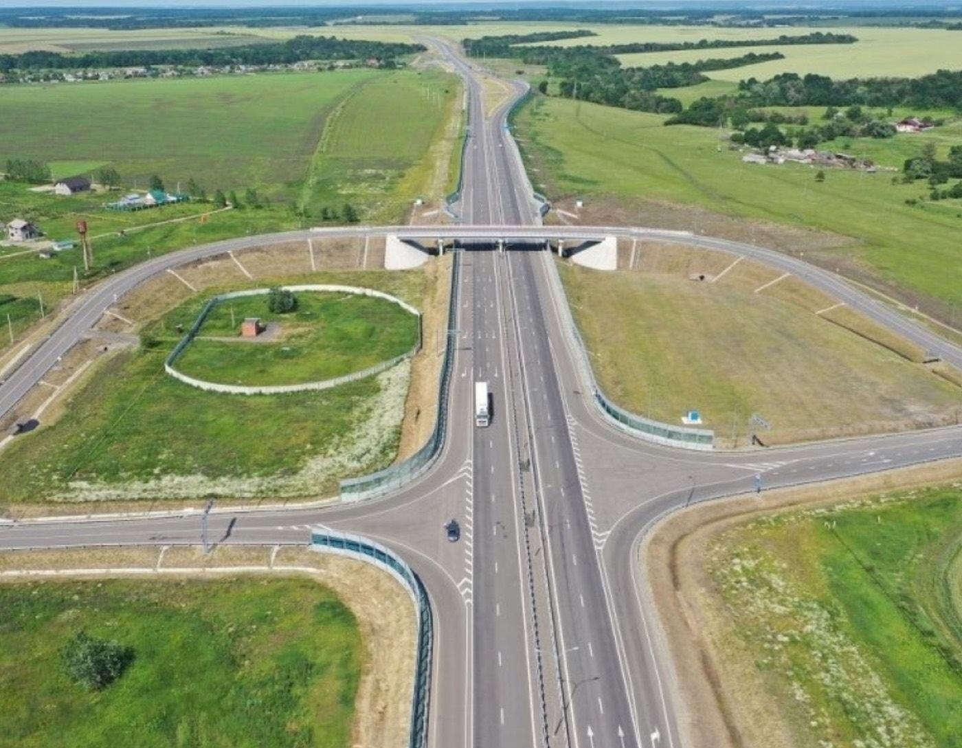
Major renovation design and documentation for roads across Azerbaijan.
-
 EX-18
State expert review support
Submission, answering comments and corrections — through to a positive conclusion.
-
 DA-20
Defect report preparation
Inspection, measurements and repair quantities — the basis for design and estimate.
Let’s map the technical path for your project.
Send a plan, technical document, or early idea. The team can shape the right multidisciplinary project scope.